The WildPosh project is an EU-wide initiative dedicated to developing standardized methods for monitoring pollinators and pesticide residues. By collecting field samples of pollen and nectar alongside pollinator surveys across four countries, the project feeds high-resolution data into landscape models. These models predict how pesticide use and the availability of floral resources influence pollinator populations over time.
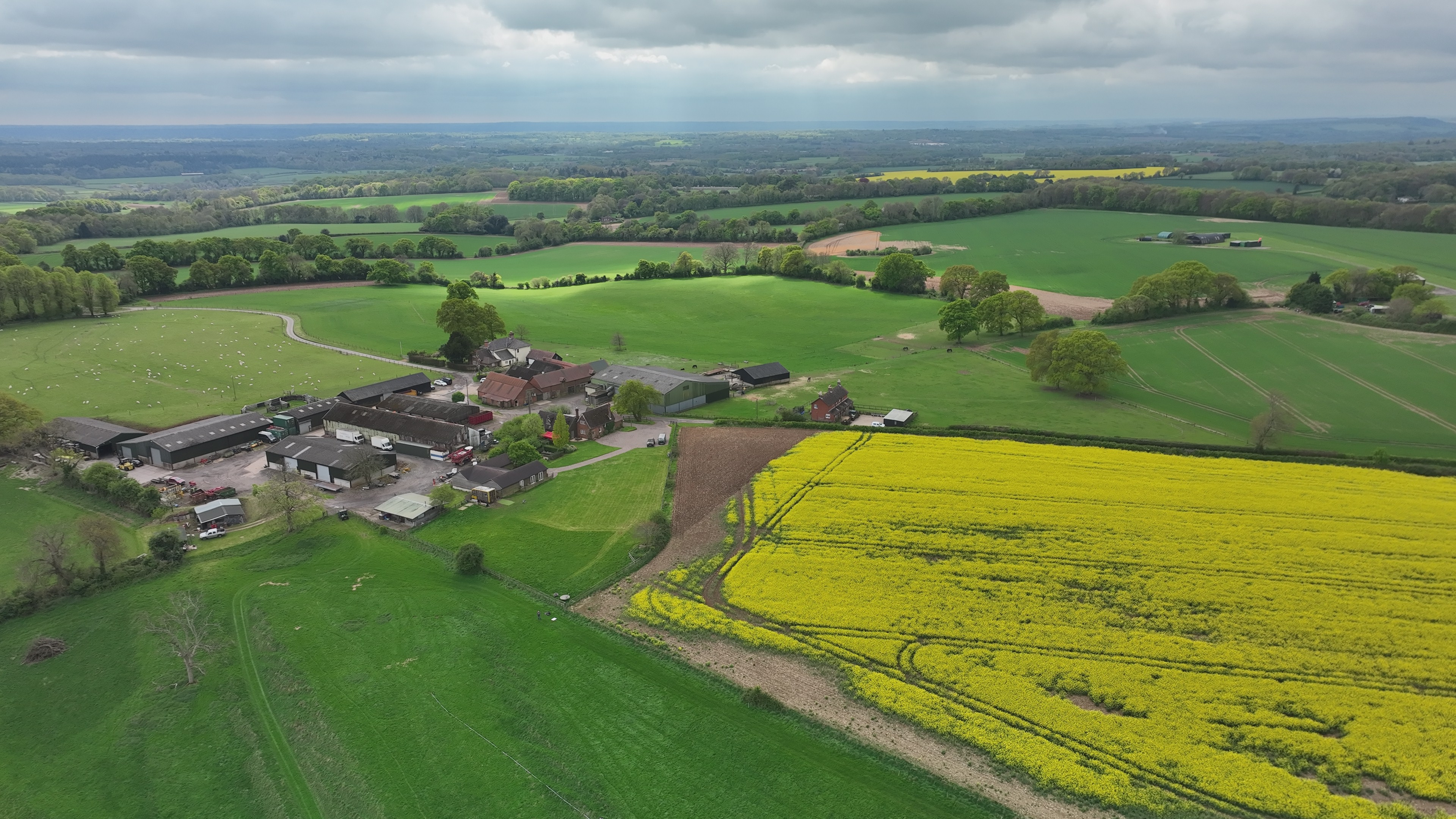
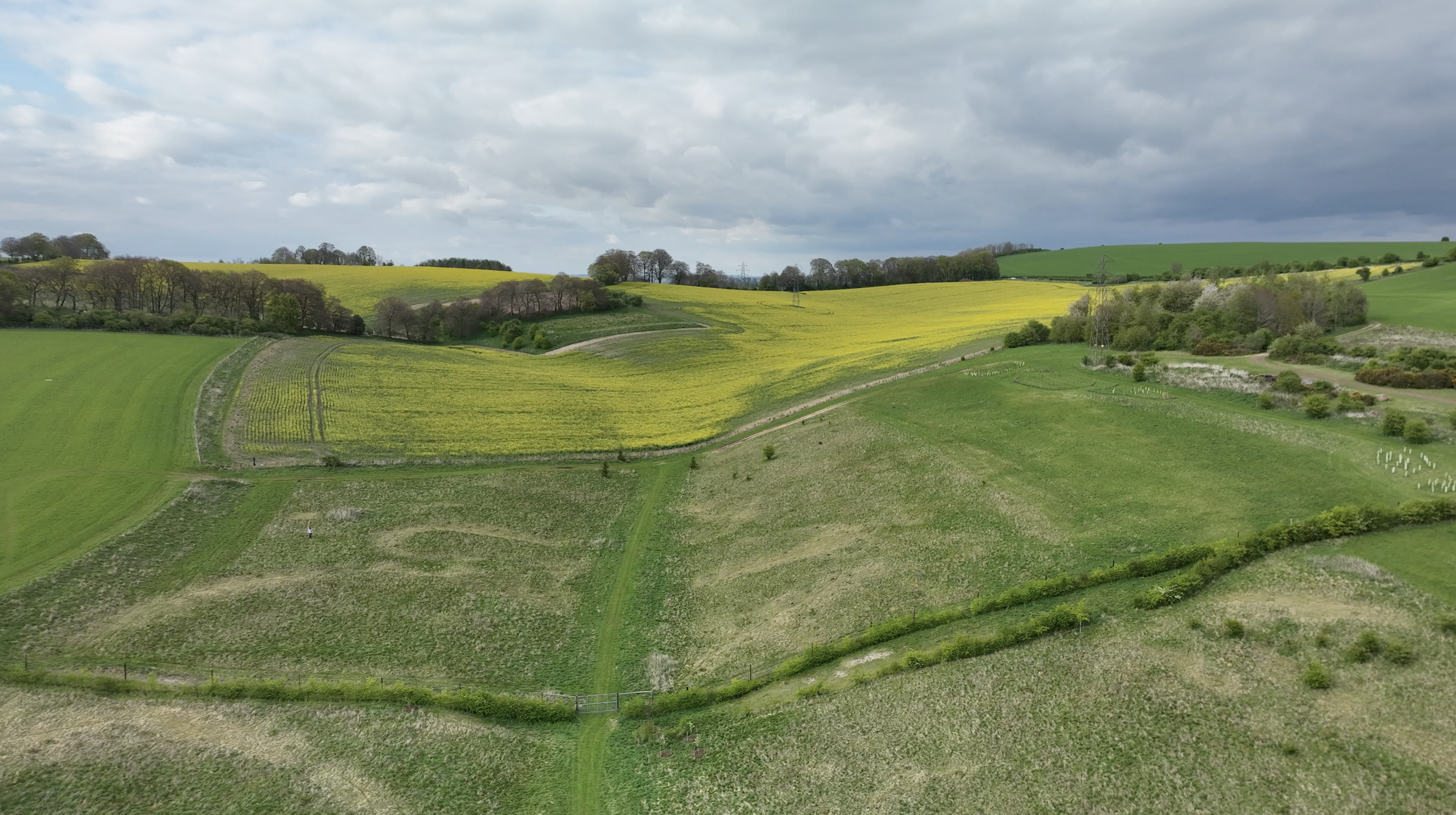
To accurately model pollinator health, researchers require precise data on local floral resources within a 1km radius of sampling sites. While ground-based surveys are feasible in regions with large, uniform fields, the UK landscape is significantly more diverse and fragmented. To address this, the Connected Environments team is deploying drone-based remote sensing to capture high-resolution orthomosaic data, allowing for the rapid mapping of complex terrains and varied crop types that are difficult to survey on foot.
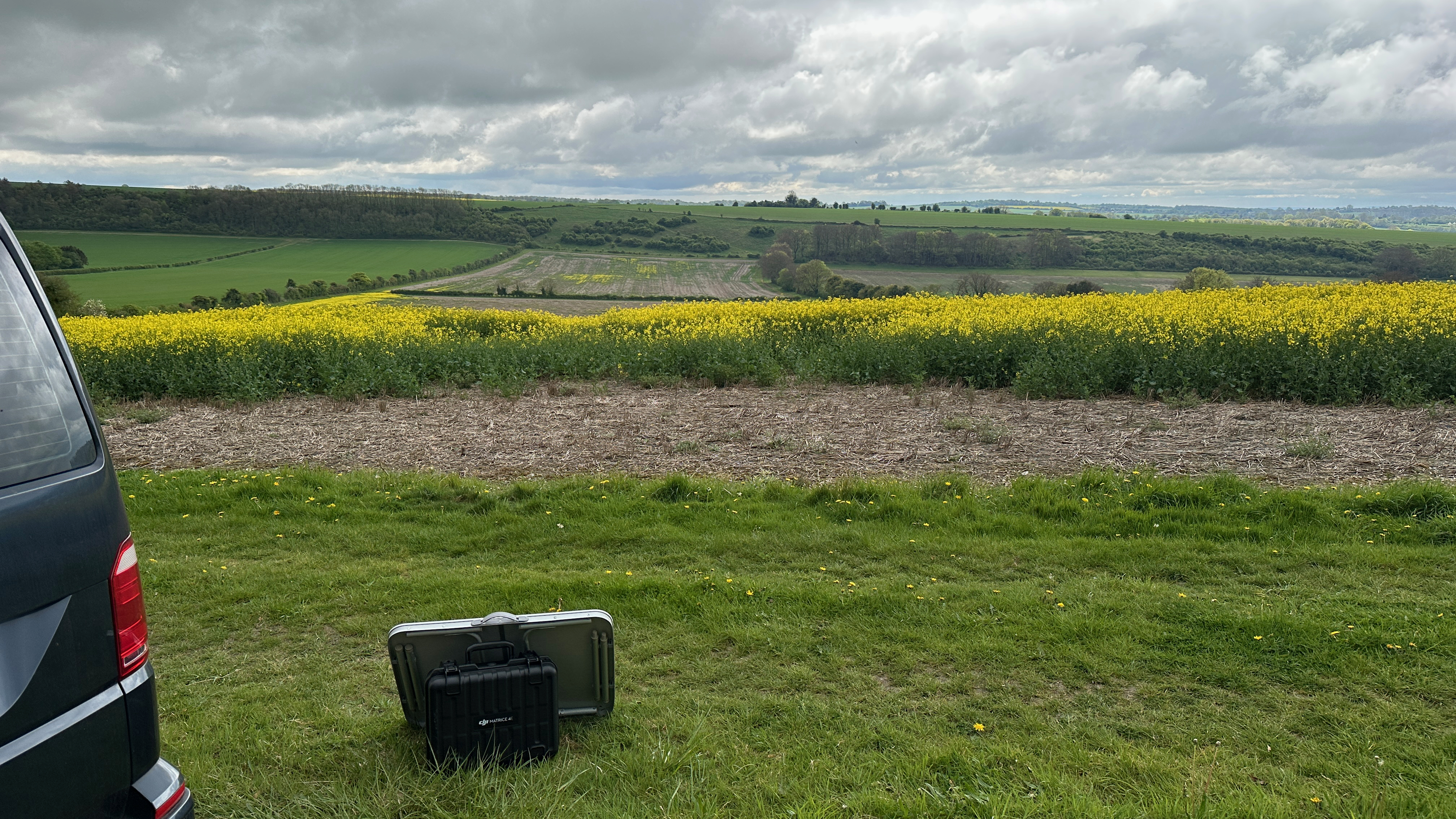
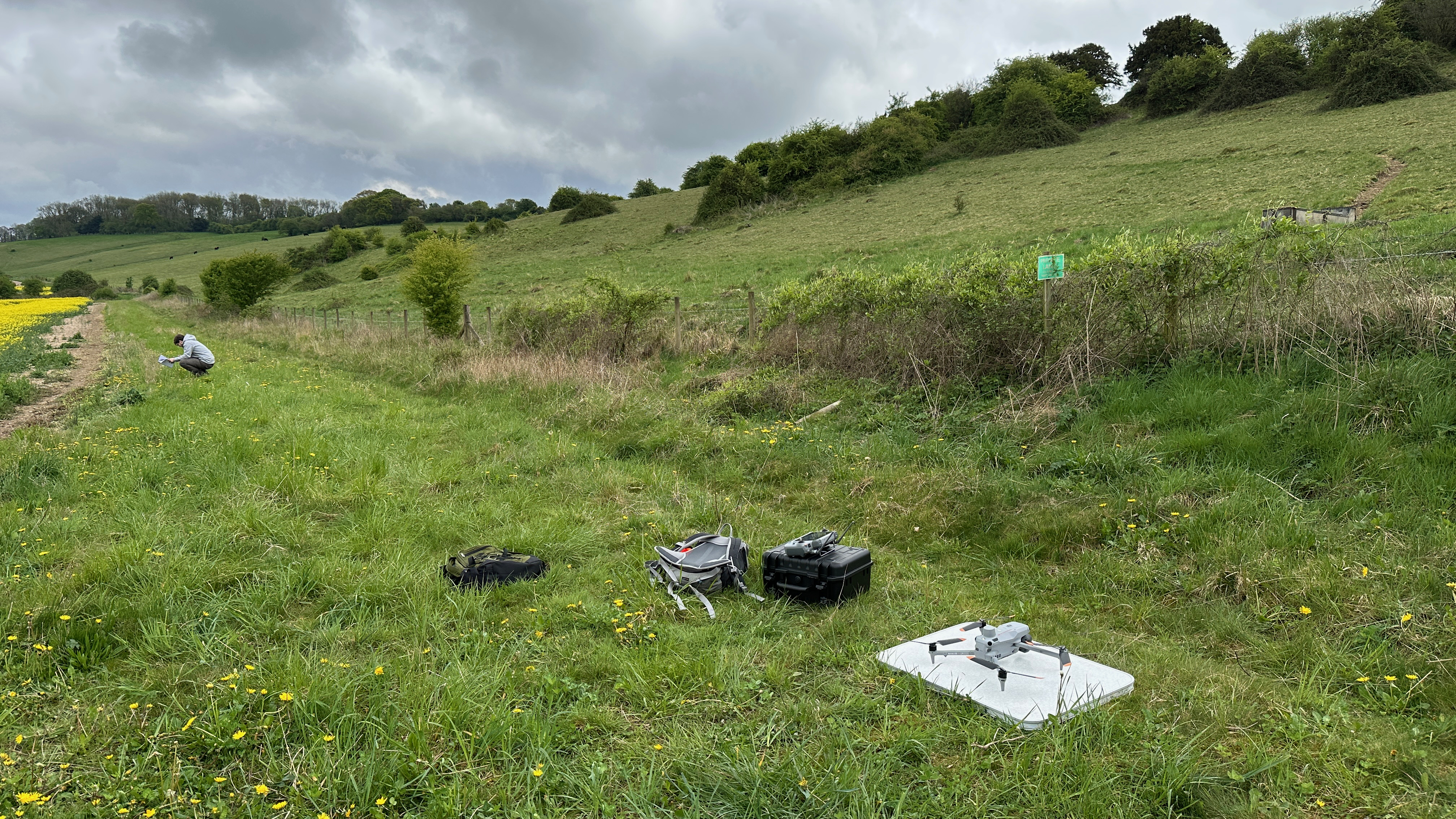
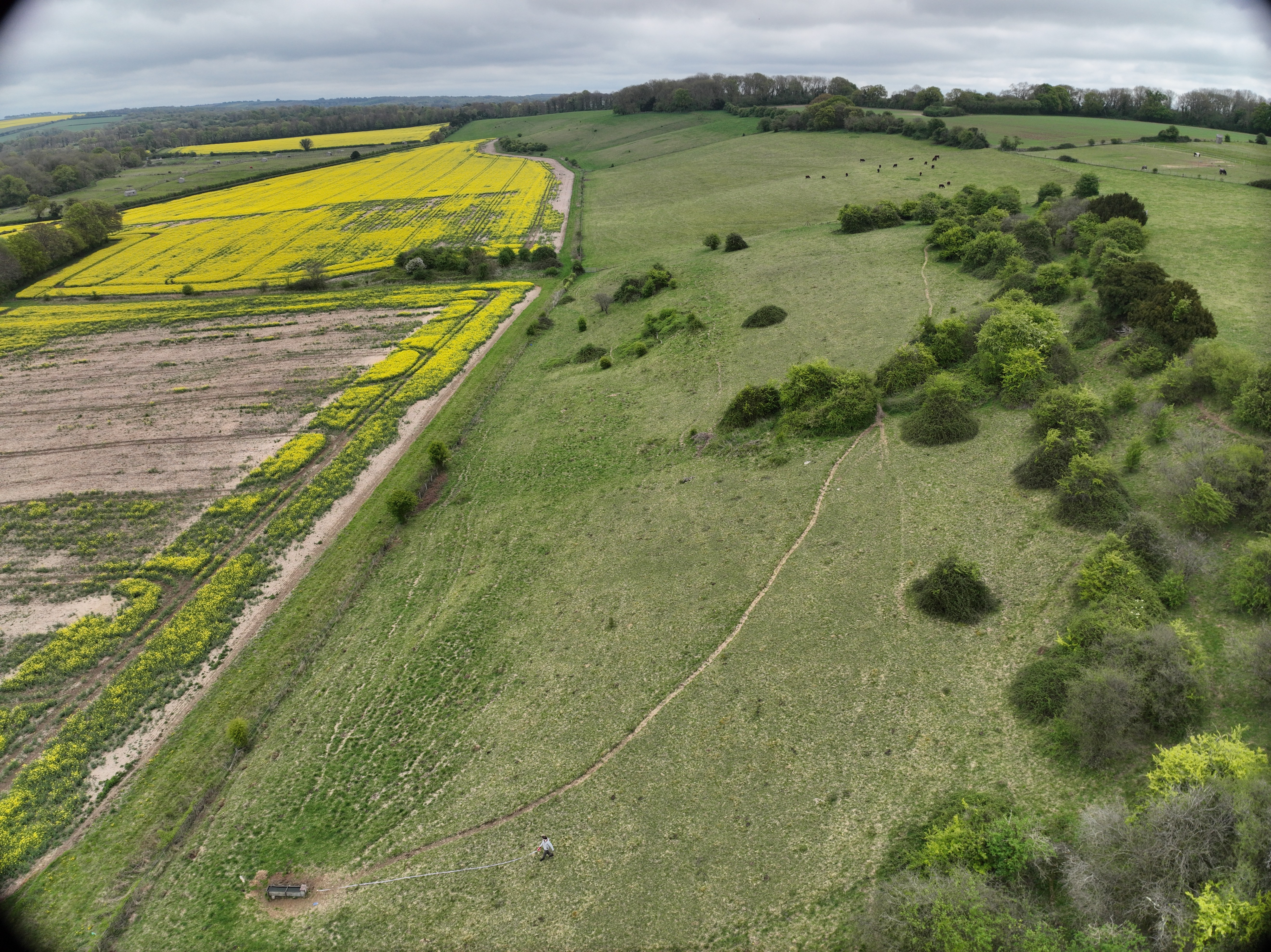
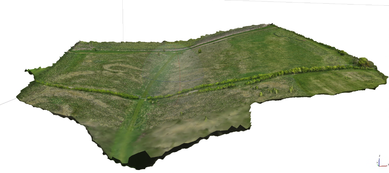
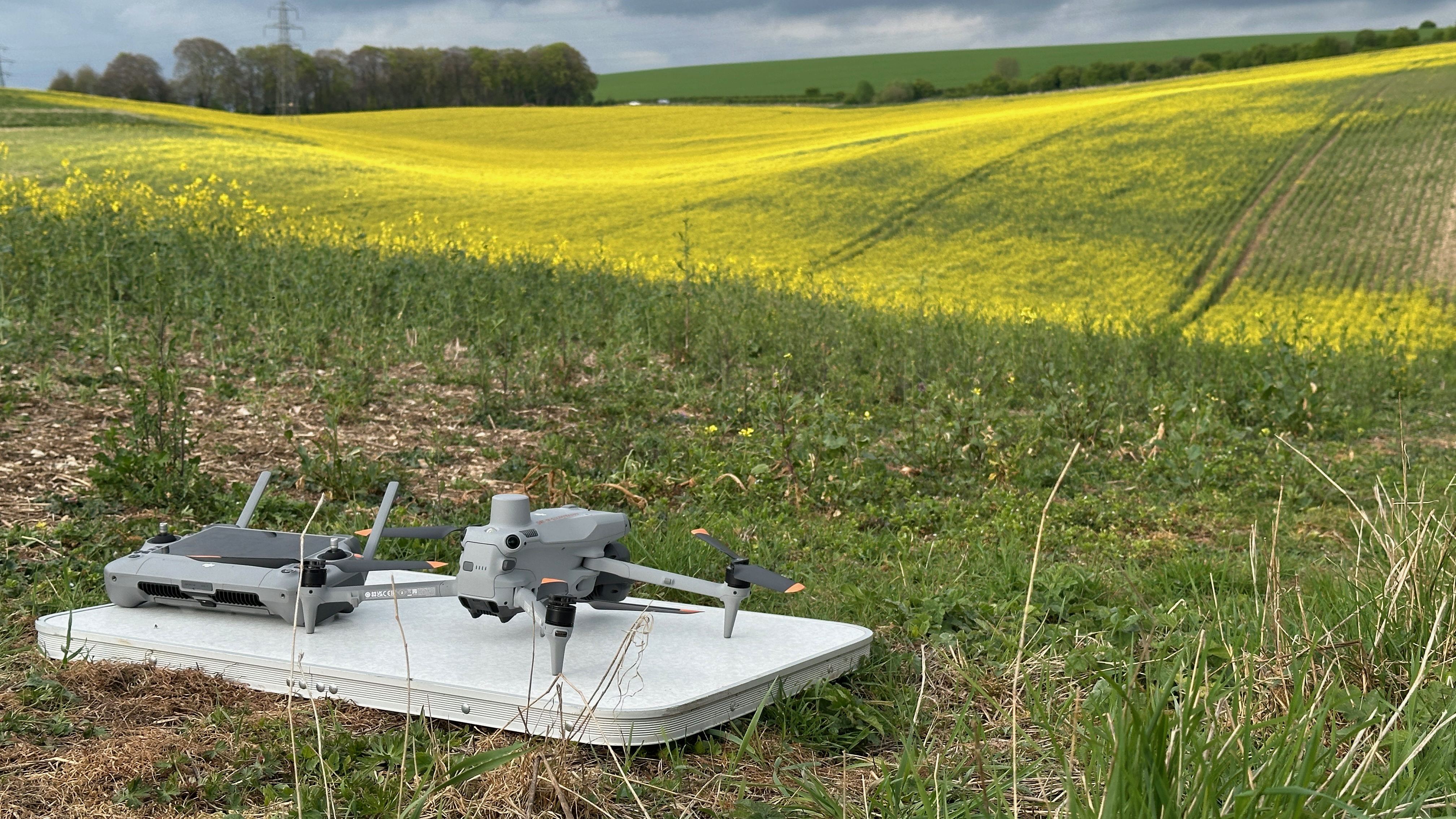
We utilized DJI Matrice 4E to capture large-scale orthomosaic data across Hampshire. A primary technical challenge involved managing the hilly topography of the region, which standard fixed-altitude flight paths could not safely navigate. Terrain Follow was required to prevent collisions and maintain a consistent Ground Sampling Distance (GSD), with Above Ground Level (AGL) settings enabled. This required downloading Digital Surface Model (DSM) files in the field to enable dynamic height adjustment. While terrain-following increased the GSD from a planned 0.33 to roughly 0.67–0.9, it ensured a safe and successful capture of 43GB of raw data.
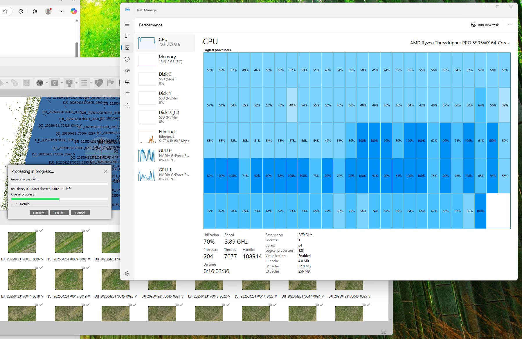
To streamline the workflow, we developed a custom map interface at wildposh.cetools.org to explore the data and identify sub-sections for further processing.
Next Steps:
-
Tile Generation: Creating 512x512 pixel images from selected areas using Agisoft Metashape.
-
Computer Vision (CV): Utilizing these subsets to train models for automated crop and floral identification.
-
Ground Truth Validation: Correlating drone imagery with manual transect data (collected by Leo) to refine the final landscape models.
The video below captures some of the amazing countryside we were working in and some notes from field are on this blog.