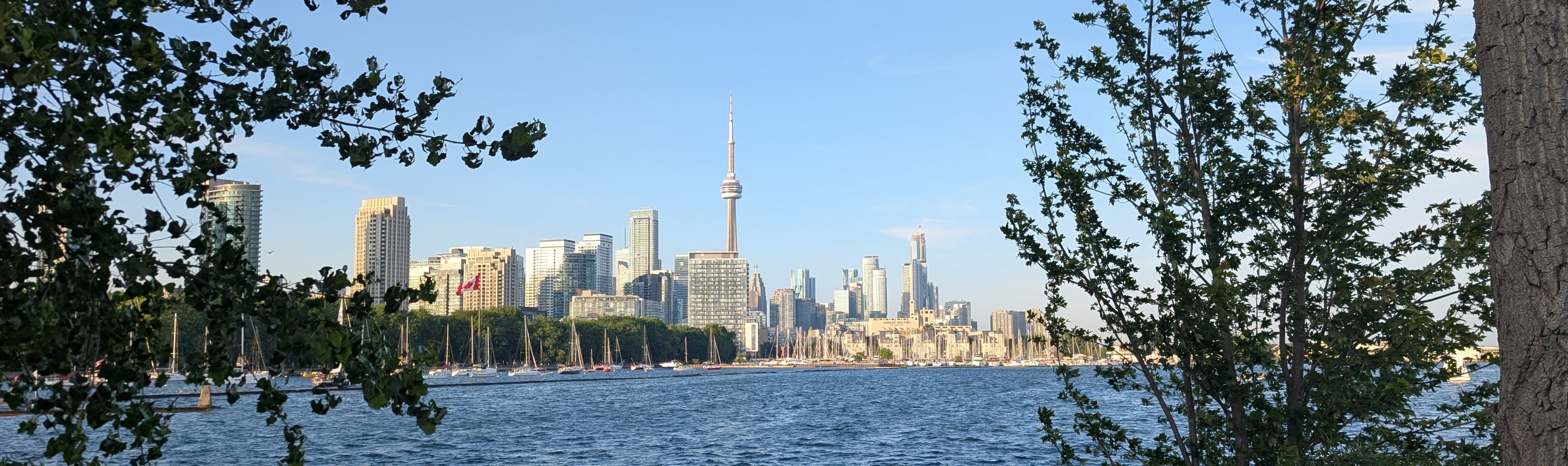
It has been a great week at the XXV ISPRS Congress in Toronto. Across the sessions I attended, presentations covered a wide range of topics and scales, from satellite constellations and outer space to urban environments and city-scale digital twins, as well as BIM models, digital thermal trees, and historical artefacts.
Common thread running through many of these contributions was the challenge of transforming data (imagery) into understanding. Across the sessions, I saw a wide range of ideas and approaches from different disciplines, bringing together sensors, visualisation techniques, AI, XR, and analytical tools to help us better understand the world around us. This is perhaps one of the greatest strengths of ISPRS events, bringing together interdisciplinary voices, creating opportunities to learn from one another, and pushing the boundaries of our respective fields.
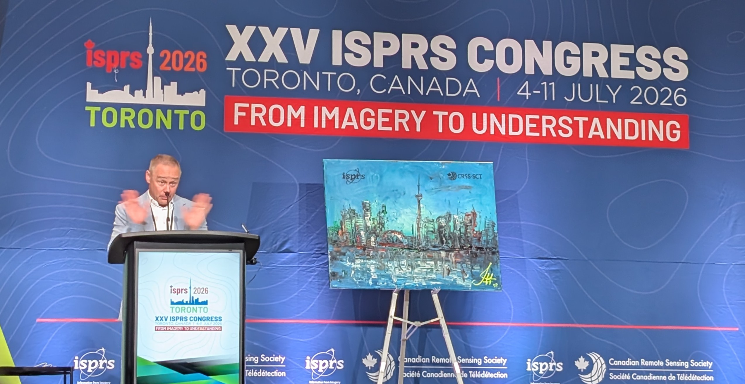
This year, one trend that particularly caught my attention was the growing use of digital modelling applied to cities and the increasing focus on enriching these models with semantics, while also exploring how different modelling techniques can be combined to complement one another and address their respective limitations.
On this aspect, Gaussian Splatting was a recurring topic across the Congress, with presentations covering its application to large-scale city modelling and its integration with more traditional geospatial and 3D modelling workflows. Beyond visible-spectrum data, examples were also presented using thermal imagery as input, highlighting the flexibility of the approach across different sensing domains. Similar themes emerged in digital cultural heritage applications, where this emerging technique was combined with more traditional approaches to create richer and more complete representations of heritage assets. It is exciting to see how rapidly these techniques are being adopted across different application domains, and to imagine what may come next. Artificial Intelligence was, of course, another recurring theme throughout the presentations in supporting the analysis, interpretation, classification, and integration of diverse spatial datasets.
Some of those future directions were highlighted in an excellent series of keynote presentations. Marc Pollefeys (ETH Zurich) provided a fascinating overview of the past, present, and future of spatial computing and artificial intelligence, highlighting how advances in sensing, reconstruction, and AI are shaping the next generation of modelling technologies. Another keynote I particularly enjoyed was delivered by Erica Nocerino (University of Sassari), who showcased advances in underwater surveying and multidisciplinary collaborations. The presentation strongly resonated with themes explored in our project RiverGuard, where robotics, sensing technologies, and environmental sciences come together to better understand and monitor natural environments, above and below water. The Congress also highlighted the continuing importance of Earth observation and remote sensing beyond our atmosphere. Eleni Paliouras from the European Space Agency (ESA) presented new capabilities being added to current satellite constellations and ambitious efforts to develop digital twin of our planet, with the aim to improve our ability to monitor environmental change, understand risks, and support decision-making at global scales.
Our WG IV/5 session was also packed with inspiring contributions exploring how visualisation, XR, and spatial AI can support decision-making, participation, and environmental understanding. Presentations exploring the role of different visualisation techniques in urban planning decisions, AI-driven wildfire simulation and community resilience, privacy-aware AR localisation for situated urban design, and immersive approaches to understanding walkability through cinematic VR. Other contributions showcased innovative visual analytics for oceanographic data, VR tools for exploring light pollution and night-sky environments, and new geospatial WebXR frameworks enabling accurate, in-situ visualisation of urban development projects.
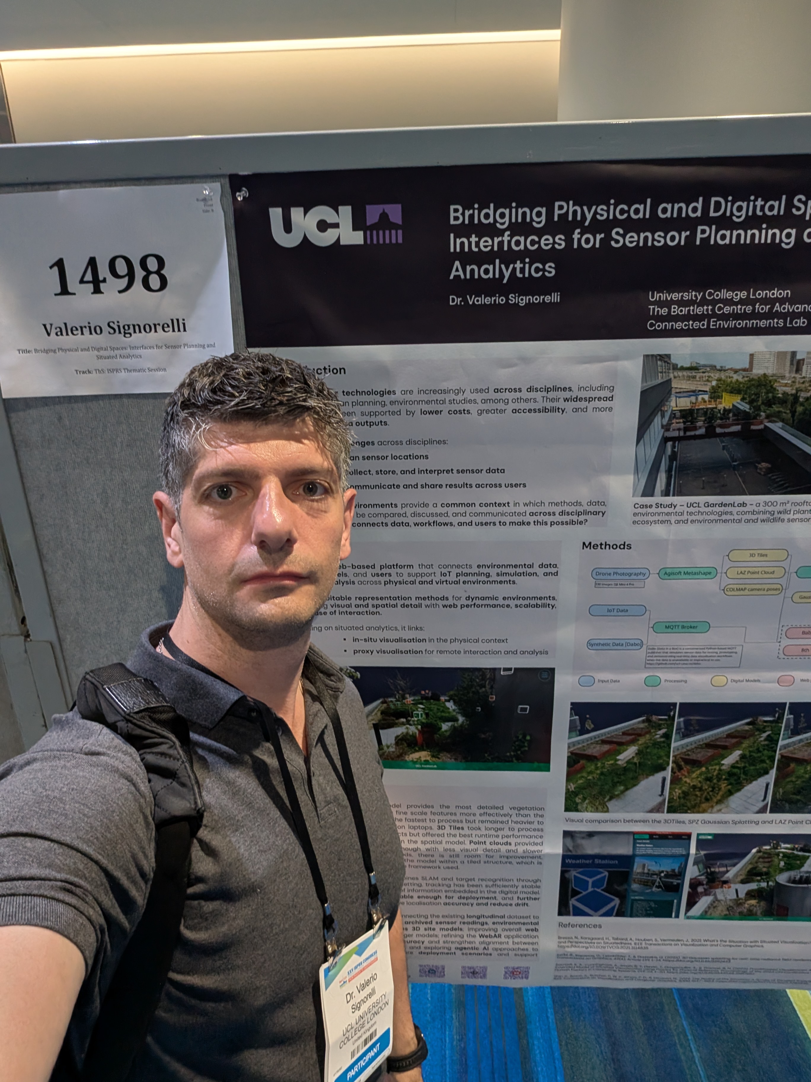
The week also included daily poster sessions, which provided a great opportunity to learn about ongoing research, discuss ideas one-to-one, and connect with colleagues from across the ISPRS community. During one of these sessions, I presented our GardenLab contribution, “Bridging Physical and Digital Spaces: Interfaces for Sensor Planning and Situated Analytics”. The work explored how web-based 3D and AR technologies can support the deployment, visualisation, and interpretation of environmental sensor data. By integrating point clouds, 3D Tiles, Gaussian Splatting, WebAR, and real-time MQTT data streams, the platform aims to facilitate cross-disciplinary engagement with environmental monitoring and support more situated forms of data exploration.
Overall, the Congress brought together more than 2,000 participants from 93 countries, with over 700 presentations and 500 posters. It is impossible to capture all the inspiring contributions in a single blog post, but fortunately many of them are already available online and accessible through the Congress annals and archives
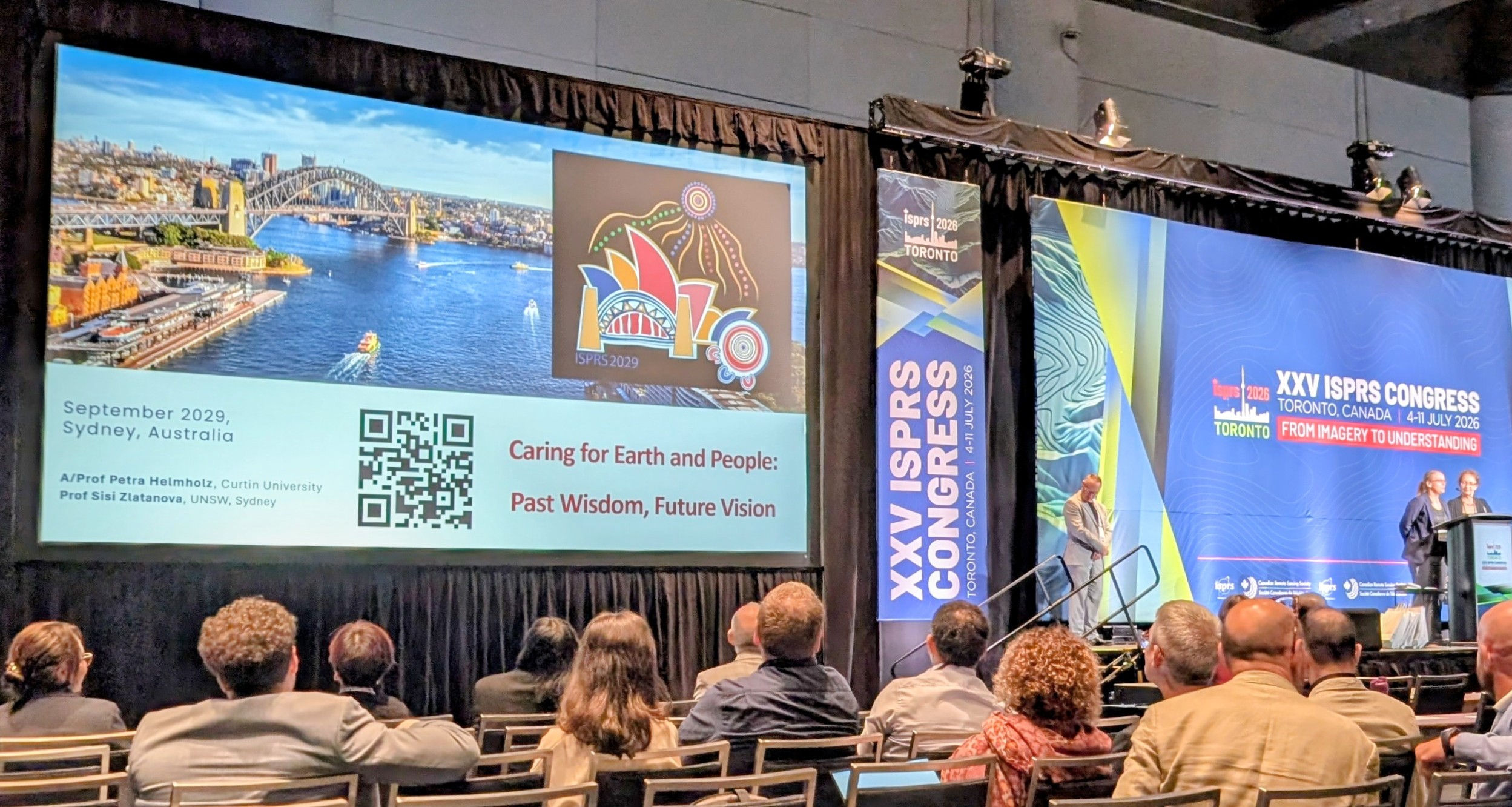
Looking ahead, the next opportunity to reconnect with the ISPRS community will be at the ISPRS Geospatial Week 2027 in Poland, that will be focused on advancing geospatial technologies for smart and sustainable development. Beyond that, preparations are already underway for the XXVI ISPRS Congress in Sydney, Australia, in 2029, under the theme “Caring for Earth and People: Past Wisdom, Future Vision”.
If you are interested in learning more about ISPRS or the work of our Working Group, please feel free to get in touch.